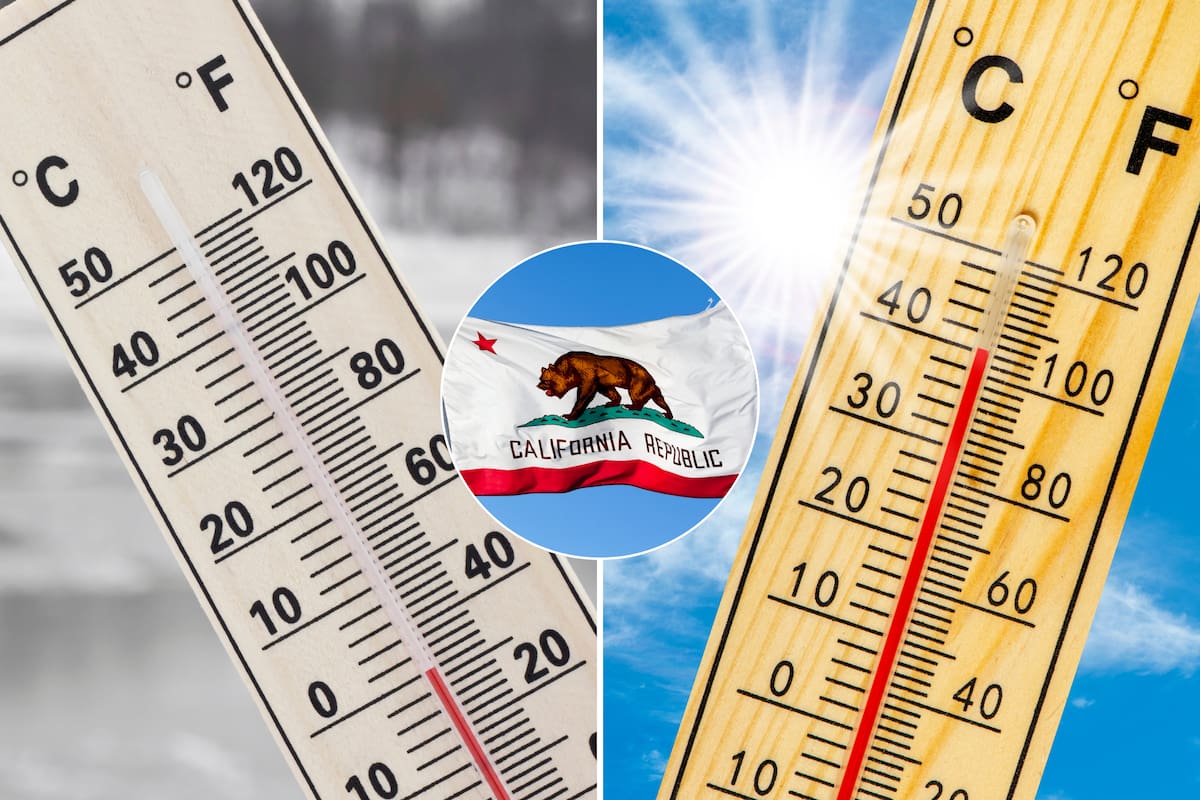
Only two days left until it officially begins Northern winter in Californiajust like in everything USA. In this context, and before the arrival of the holidays of Christmas and New Yearmany people wonder about the chances of snowfall in the region. Weather forecasts point to a variable outlook, with weather events that could impact both residents and travelers.
The Current weather conditions in Northern California reflect a typical early winter mix. In it Sacramento ValleyThe forecasts indicated that there will be dense fog during the mornings of the next few days, which will affect the vision of drivers.
According to Tamara Berg, meteorologist for the media KCRA, These fogs could continue in the coming daysalthough the skies will clear with the arrival of the sun after lunch. This Thursday, temperatures ranged between 14 and 15°C in downtown Sacramento, just above the historical average for this time.
In the mountainous areasConditions also remained relatively mild. The Temperatures in Sierra Nevada reached a maximum of 8°Calthough it is expected that conditions change during the first weekend of winter with the arrival of intermittent rains in the valley and snowfall at altitudes above 1980 meters. The meteorologist declared Saturday an “impact day” due to the likelihood of wet roads and delays in travel times.
The NWS forecast the Return of rain and snow in Northern California over the weekend and through Christmas Day. The first Precipitation and strong winds will reach the Bay Areawhile snowfall will only affect mountainous areaswith accumulations from 2100 to 2400 meters above sea level.
In the region of Sacramentit is expected that between Saturday and Monday more than five centimeters of rain fall in the valleys and hills. For its part, san francisco could register up to five centimeters of accumulated rainfallwhile the south of the bay will have just under 2.5 centimeters. Due to the temperate climate, no snowfall expected in urban areas.
A crucial factor that will influence the onset of winter is the series of atmospheric rivers planned for the west coast in the next eight to ten days.
Marty Ralph, director of the Center for Extreme Climates and Atmospheric Rivers at the University of California in San Diego, highlighted in dialogue with New York Times that These back-to-back storms could saturate the ground and raise the risk of flooding. In addition, he explained that a major event could generate a significant risk of water accumulation if it coincides with already saturated soils.
The impact of these weather systems varies by region. While the Pacific Northwest and northern california could receive between 25 and 50 centimeters of precipitation in specific areas, the forecast for the south of the state sample lower chances of significant rain.
Despite this, the presence of a large area of warmer ocean water west of Alaska could modify the intensity and path of stormsas indicated by the National Oceanic and Atmospheric Administration (NOAA, for its acronym in English).
The La Niña phenomenon in the Pacific Could influence California weather patterns during the winter. This event, characterized by the strengthening of the trade winds, generates significant impacts on the distribution of precipitation and temperatures all over the world.
Jon Gottschalk, chief of operational prediction at NOAA’s Climate Prediction Center, said in an interview with San Francisco Chronicle that the effects of La Niña this year are weaker than in past seasonswhich increases uncertainty about the forecasts.
In it northern californiathe chances of above- and below-normal precipitation are similar, while in the south, the chances of a driest winter reach 30%.
Regarding temperatures, the south is more likely to see a warmer winterwhile the north presents an “equal probability” of temperatures below, near or above average.

 Workout
 Meditation


 Contact Us


